
Transportation remains one of the most formidable barriers to accessible travel, prompting savvy disabled travelers to meticulously evaluate every available mode of transportation when plotting their routes. For many, intercity bus services represent a critical pillar of an effective accessible travel strategy. This is especially true in the United States, where federal regulations mandate that scheduled intercity bus services must be fully accessible, equipped with functional wheelchair lifts and at least two designated wheelchair securement spaces.
Over the years, major intercity motorcoach operators like Greyhound have carried travelers thousands of miles across the country. However, researching and coordinating available bus routes has historically presented a significant challenge. Unlike the aviation industry, which benefits from centralized clearinghouses and comprehensive route-aggregating platforms for commercial flights, the intercity bus sector has long lacked a unified, easily searchable database for schedules and connections.

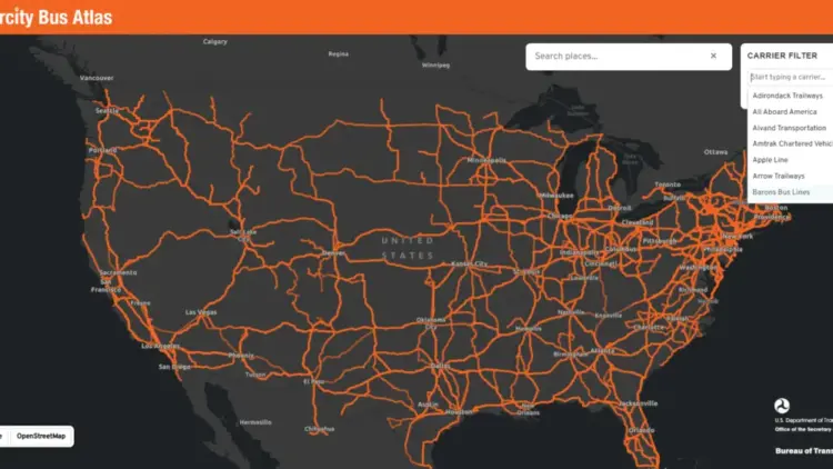
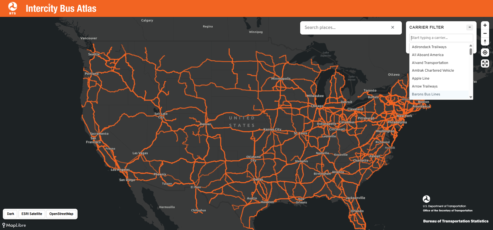
Addressing this persistent logistical hurdle, the U.S. Department of Transportation’s Bureau of Transportation Statistics (BTS) took a major step forward with the introduction of the new Intercity Bus Atlas. This free, web-based interactive mapping tool provides a comprehensive visual representation of the interconnected intercity bus network operating throughout the United States, offering a centralized resource that travelers and transit advocates have sought for years.
How the Atlas Works
According to the official announcement released by the BTS, the newly launched atlas reflects extensive route and schedule data voluntarily provided by approximately 60 scheduled intercity bus operators from across the nation. The nationwide map currently displays roughly 1,800 distinct routes and approximately 3,500 individual bus stops, creating a comprehensive digital snapshot of the country’s over-the-road coach network. The BTS accurately describes the platform as the only regularly updated, centralized map of the nation’s scheduled intercity bus system currently available to the public.
The design of the atlas prioritizes simplicity and user accessibility. Travelers can interact with the digital map by entering a specific city name into the search interface. Once a location is entered, the map dynamically displays all intercity bus routes connected to that municipality, including services originating in the city, arriving at the destination, or merely passing through as part of a longer regional journey. Additionally, users can utilize filtering tools to highlight the network of a single individual carrier, allowing for targeted route planning based on preferred operators.
Why the Intercity Bus Atlas Matters
The primary value of the Intercity Bus Atlas lies in its unprecedented capacity to help travelers discover alternative ways to navigate between cities, particularly when traditional transit options fall short. When utilized in conjunction with other existing travel planning resources, the atlas enables passengers to comprehensively evaluate all of their viable transit options. In many ways, the tool serves a function similar to the popular Google Flights map, which permits air travelers to visualize every single destination reachable from their local home airport.
For instance, typing a mid-size city into the search box can frequently reveal a surprisingly dense web of bus routes radiating outward into the surrounding region. Many of these routes serve smaller communities that lack commercial airports and, in an era of ongoing rail contraction, increasingly lack Amtrak passenger rail service as well. For the millions of Americans who reside in rural or smaller regional locales that commercial airlines and major rail operators have gradually abandoned over the decades, the intercity bus serves as an indispensable transportation lifeline.
Wheelchair users and individuals with mobility disabilities also stand to benefit tremendously from greater visibility into the bus network. Modern motorcoaches operated by major national and regional carriers are outfitted with specialized wheelchair lifts and securement areas, complying directly with the strict accessibility mandates enforced by the Americans with Disabilities Act for large fixed-route operators. Furthermore, bus travel frequently represents the most economically affordable intercity transportation option available. Unlike commercial aviation, which requires passengers to navigate sprawling airport complexes located far outside urban cores, intercity buses routinely deliver passengers directly to city centers. Crucially for power wheelchair users and individuals who rely on custom mobility devices, motorcoach travel never requires a passenger to surrender their wheelchair to an airplane cargo hold, eliminating the persistent anxiety of potential equipment loss or severe transit damage.

Future Improvements to the Bus Atlas
While the rollout of the Intercity Bus Atlas marks a substantial milestone for public transit and accessible travel, the BTS openly acknowledges that the platform is currently incomplete and remains a work in progress. Because the underlying data is supplied on a strictly voluntary basis by individual carriers, a number of notable operators and regional routes are not yet reflected in the current mapping interface.
Among the notable omissions is Megabus, a major player in the intercity market whose wheelchair-accessible services have previously been reviewed and utilized by frequent travelers. When comprehensive data from one of the nation’s largest commercial bus operators is absent from a supposedly nationwide map, travelers run the risk of overlooking viable, highly convenient transportation options. Industry experts note that this gap should serve as a strong incentive for all remaining commercial operators to submit their route data to the federal agency.
Beyond capturing complete industry participation, transit advocates have suggested further enhancements to maximize the platform’s utility. Incorporating a dedicated accessibility layer directly into the atlas—one that explicitly identifies wheelchair-accessible stops, terminal amenities, and specific boarding features—would instantly transform the tool from a useful geographic map into an indispensable, specialized resource for disabled travelers nationwide.

The Bottom Line
The introduction of the Intercity Bus Atlas represents a commendable and much-needed starting point for federal transit mapping, shining a long-overdue spotlight on a mode of travel that is frequently overlooked by the broader public and policymakers alike. Travelers planning upcoming journeys are encouraged to explore the interactive atlas online at the official Department of Transportation website to determine whether intercity bus travel can accommodate their next trip. When thoroughly researched, the bus network can provide an inexpensive, highly convenient, and reliably accessible way to navigate destinations across the United States.