
Transportation remains one of the most formidable barriers for accessible travel, compelling savvy disabled travelers to evaluate every available transit mode when mapping out their routes. For many, intercity bus services form a critical pillar of their accessible travel strategy. This is especially true in the United States, where federal regulations require intercity bus services to be fully accessible, equipped with functional wheelchair lifts and at least two designated wheelchair securement spaces per vehicle.
Over the years, major intercity bus operators like Greyhound have carried travelers thousands of miles across the country. However, researching and comparing available bus routes has historically been a complex and fragmented endeavor. Unlike the aviation industry, which benefits from centralized digital clearinghouses and comprehensive flight search aggregators, the intercity bus sector has long lacked a unified hub for routes and schedules.
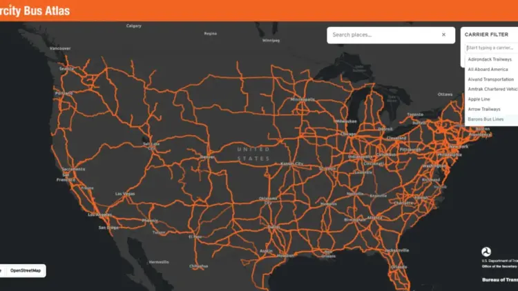
That landscape shifted significantly this month when the U.S. Department of Transportation’s Bureau of Transportation Statistics (BTS) unveiled the Intercity Bus Atlas. This new, free, web-based interactive map provides a comprehensive visual database of the intercity bus network across the United States, marking a major milestone for nationwide transit visibility.

How the Atlas Works
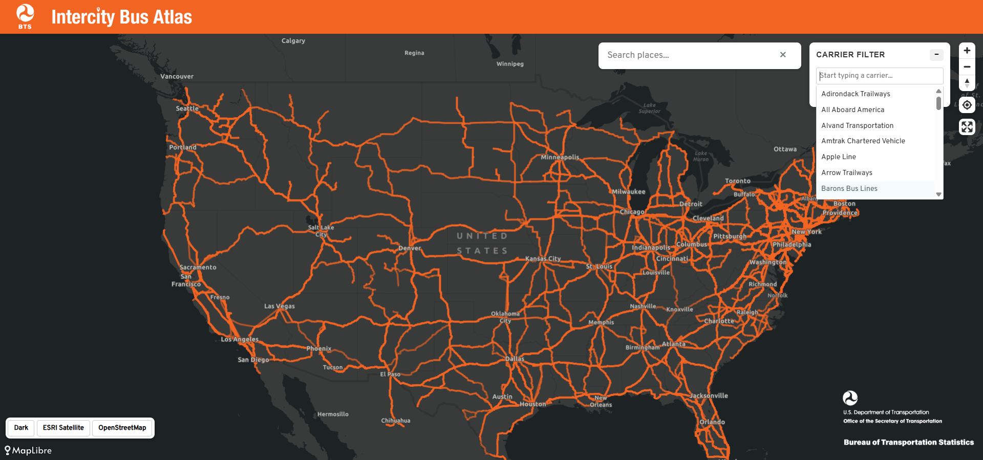
According to the official announcement from the Bureau of Transportation Statistics, the newly launched atlas compiles and reflects operational data voluntarily submitted by approximately 60 scheduled intercity bus operators. The nationwide mapping tool showcases roughly 1,800 distinct routes and approximately 3,500 individual bus stops. The BTS accurately characterizes the digital resource as the only regularly updated, comprehensive map of the nation’s scheduled intercity bus network currently available to the public.
The interactive platform is designed for simplicity and ease of use. Users can input a specific city name into the search interface, prompting the map to display all
connected intercity bus routes associated with that location. This includes services originating within the city, arriving at the destination, or merely passing through along a longer transit corridor. Additionally, users possess the capability to filter the map by individual carriers, allowing travelers to highlight and inspect a single operator’s network in isolation.
Why the Intercity Bus Atlas Matters
The primary value of the Intercity Bus Atlas lies in its capacity to help travelers discover alternative routing and diverse ways to travel between cities. When utilized alongside other digital planning resources, the atlas empowers travelers to weigh all available transit options. In many ways, the tool functions for bus passengers much like the popular Google Flights map does for air travelers, enabling them to visualize every reachable destination directly from their home region.
Typing in a mid-size city often reveals an unexpected density of bus routes radiating outward, frequently serving smaller communities and rural areas that lack local airports and, increasingly, passenger rail access via Amtrak. For millions of Americans residing in localities that major commercial airlines and rail operators have systematically abandoned, the intercity bus serves as an indispensable transportation lifeline.
Wheelchair users and individuals with mobility disabilities stand to benefit tremendously from enhanced route visibility. Modern motorcoaches operated by major national carriers come standard with wheelchair lifts and securement areas, complying directly with the Americans with Disabilities Act mandate requiring large fixed-route operators to deliver fully accessible service. Furthermore, bus travel frequently represents the most economical intercity transportation option available. Unlike commercial aviation, which delivers passengers to remote airports on the outskirts of metropolitan areas, buses typically drop travelers directly into city centers. Crucially for many power wheelchair users, bus travel eliminates the anxiety and risk of structural damage associated with surrendering mobility devices to an aircraft cargo hold.

Future Improvements to the Bus Atlas
Despite its immediate utility, officials at the Bureau of Transportation Statistics readily admit that the Intercity Bus Atlas is an incomplete project and an ongoing work in progress. Because the underlying data is supplied entirely on a voluntary basis by individual carriers, a notable number of operators and specific regional routes remain unrepresented on the digital map.
A prominent omission from the initial rollout is Megabus, a major commercial player in the intercity market whose wheelchair-accessible services have previously been reviewed and utilized by experienced disability advocates. When data from one of the nation’s most prominent bus operators is absent from a supposedly national mapping tool, travelers run the risk of overlooking viable transportation options. Industry observers note that this gap should serve as a strong incentive for unlisted operators to step forward and submit their operational route data to the federal agency.
Transportation advocates have also proposed ambitious steps for future development, challenging the BTS to integrate comprehensive accessibility data directly into the platform. Introducing a dedicated map layer that identifies verified wheelchair-accessible stops and specific onboard or station accessibility features would fundamentally transform the tool from a useful geographic map into an indispensable, definitive resource for disabled travelers nationwide.

The Bottom Line
The debut of the Intercity Bus Atlas represents a promising and welcome start, shining a much-needed federal spotlight on a mode of public transportation that has historically been overlooked by mainstream transit planners and leisure travelers alike. As the platform continues to evolve through carrier participation and data updates, transit advocates encourage travelers to explore the interactive atlas online and consider integrating bus travel into their future itineraries. For many journeys across the United States, the modern motorcoach offers an inexpensive, highly convenient, and reliably accessible way to move between destinations.