
For disabled travelers navigating the complex landscape of domestic transit, transportation remains one of the most formidable barriers to accessible travel. While frequent flyers and road-trip enthusiasts can easily map out their journeys using established digital aggregators, savvy travelers with mobility needs often have to piece together fragmented schedules across multiple independent transit modes. Intercity bus services have long served as a vital component of this accessible travel strategy, particularly within the United States, where federal regulations mandate that fixed-route bus services be fully equipped with wheelchair lifts and designated securement spaces.
Major intercity bus providers like Greyhound have historically carried passengers millions of miles across the country, yet planning a trip via motorcoach has always presented a unique logistical hurdle. Unlike the aviation industry, which benefits from centralized clearinghouses and comprehensive global distribution systems, the intercity bus sector has lacked a unified digital roadmap.
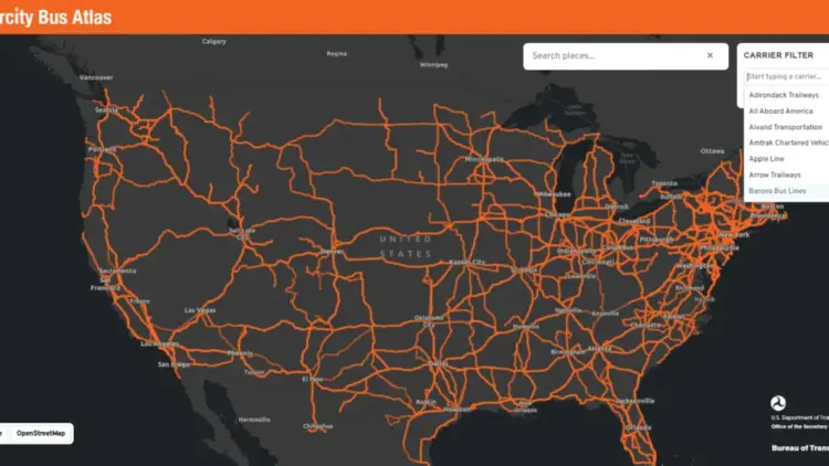
That landscape shifted significantly when the U.S. Department of Transportation’s Bureau of Transportation Statistics (BTS) introduced the Intercity Bus Atlas. Available as a free, web-based interactive mapping tool, the new digital resource provides a comprehensive look at the nation’s intercity bus network, marking a major step forward for transparency and accessibility in regional transit.

How the Atlas Works
According to the official announcement from the Bureau of Transportation Statistics, the newly released atlas is built upon data voluntarily submitted by approximately 60 scheduled intercity bus operators. The nationwide mapping tool currently displays roughly 1,800 distinct routes and approximately 3,500 individual bus stops spread across the country. The BTS accurately characterizes the platform as the only regularly updated, centralized map dedicated to the nation’s scheduled intercity bus network.
The platform has been designed with simplicity and ease of use in mind. Users can navigate the system by entering a specific city name into the search interface, which immediately populates the map with all connected intercity bus routes. This includes services originating within that municipality, routes arriving from other destinations, and pass-through services that connect outlying regions. Additionally, travelers can filter the interactive map by specific carriers, allowing them to isolate and highlight a single operator’s network for easier route planning.
Why the Intercity Bus Atlas Matters
The primary value of the Intercity Bus Atlas lies in its ability to help travelers discover alternative ways to navigate between cities, opening up routes that might otherwise remain hidden across disparate corporate websites. When utilized in conjunction with other transit resources, the atlas allows travelers to evaluate the full spectrum of their regional travel options.
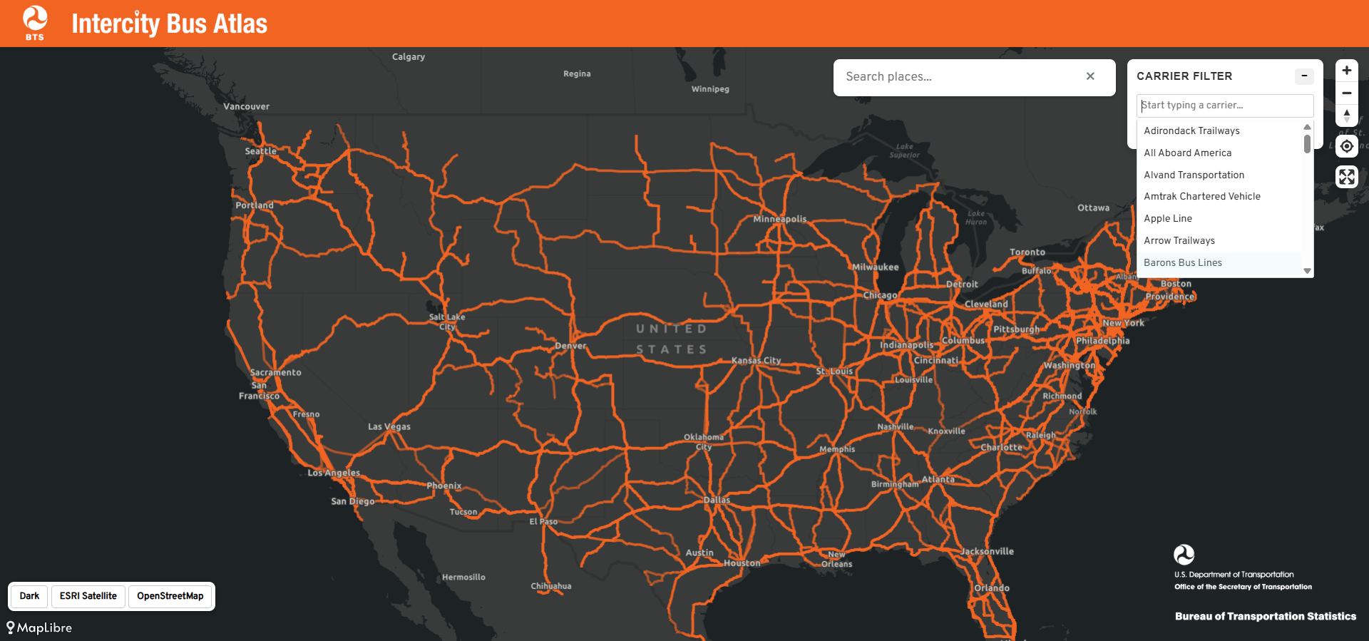
In many ways, the tool functions for bus travelers much like the popular Google Flights map functions for air passengers, enabling users to visualize every destination reachable from a given starting point. Typing in a mid-sized municipality can often reveal a surprising web of bus routes radiating outward, serving communities that lack commercial air service and have increasingly seen the reduction or elimination of passenger rail service via Amtrak. For millions of Americans living in rural or smaller communities that national airlines and rail operators have systematically abandoned, the intercity bus often functions as a critical transportation lifeline.
Wheelchair users stand to benefit tremendously from increased visibility into the motorcoach network. Modern motorcoaches operated by major national carriers are equipped with robust wheelchair lifts and designated securement areas. Under the Americans with Disabilities Act, large fixed-route intercity operators are legally required to provide accessible service to passengers with disabilities.
Furthermore, bus travel frequently serves as the most economically accessible intercity option available. Unlike commercial aviation, which requires passengers to navigate complex terminal transfers and surrender specialized mobility equipment to cargo holds, intercity buses typically deliver passengers directly to downtown city centers. Critically for many power wheelchair users, bus travel eliminates the anxiety and risk of structural damage associated with checking a customized wheelchair into an aircraft cargo hold.

Future Improvements to the Bus Atlas
While the rollout of the Intercity Bus Atlas has been met with enthusiasm from the travel community, the BTS readily acknowledges that the platform remains an incomplete work in progress. Because the underlying transit data is supplied on a purely voluntary basis by individual carriers, a notable number of operators and routes are still absent from the current interface.
A prominent omission from the initial launch is Megabus, a major player in the intercity market known for offering wheelchair-accessible service across various regional corridors. When data from one of the nation’s largest bus operators is excluded from a centralized mapping tool, travelers run the risk of overlooking viable, accessible transportation options. Industry observers note that this gap should serve as a strong incentive for unlisted operators to submit their route data to the Bureau of Transportation Statistics.
Transit advocates and experienced travelers have also pointed toward potential avenues for future technological development. Integrating explicit accessibility data directly into the mapping software—such as a dedicated data layer identifying wheelchair-accessible stops, boarding assistance availability, and specific terminal facilities—would transform the platform from a useful route map into an indispensable resource for disabled travelers nationwide.

The Bottom Line
The introduction of the Intercity Bus Atlas represents a strong and encouraging start, shining a much-needed federal spotlight on a mode of public transportation that has historically been overlooked by mainstream transit planners and digital travel aggregators. By bringing greater visibility to regional motorcoach networks, the tool helps bridge a significant information gap for travelers who rely on affordable, flexible, and accessible ground transportation.
Travelers interested in exploring regional transit options can access the interactive platform directly through the Bureau of Transportation Statistics website, opening up new possibilities for affordable, convenient, and accessible travel across the United States.