
For travelers with disabilities navigating the complex landscape of American transportation, finding reliable and accessible routes has historically presented a significant challenge. While air travel and rail systems often dominate the national conversation regarding public transit, savvy travelers have long recognized that intercity bus services form a critical backbone of accessible mobility. Unlike commercial aviation or rail networks, which rely heavily on centralized clearinghouses and comprehensive route aggregators similar to Google Flights, the intercity bus sector has long suffered from fragmentation.
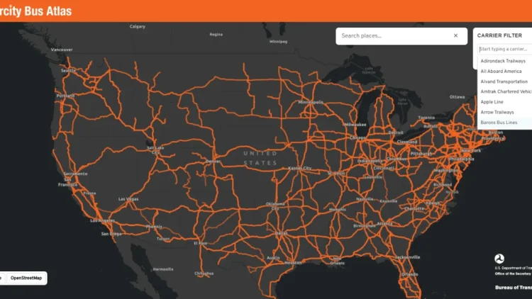
That landscape shifted significantly this month when the U.S. Department of Transportation’s Bureau of Transportation Statistics (BTS) unveiled the Intercity Bus Atlas. Designed as a free, web-based interactive mapping tool, the new resource provides a centralized view of the nation’s scheduled intercity bus network. By bringing together fragmented route data into a single platform, the federal government has taken a major step toward simplifying travel planning for millions of Americans, with particular benefits for wheelchair users and residents of communities left behind by shrinking rail and airline services.
How the Atlas Works
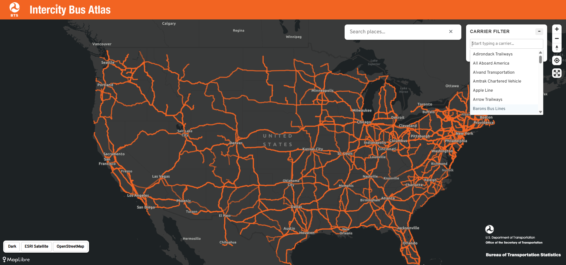
According to announcements from the Bureau of Transportation Statistics, the newly launched atlas reflects comprehensive data voluntarily contributed by approximately 60 scheduled intercity bus operators from across the country. The nationwide interactive map currently displays roughly 1,800 distinct routes and approximately 3,500 individual bus stops, creating what the BTS accurately describes as the only regularly updated, comprehensive map of the nation’s scheduled intercity bus network.

The platform is designed with user accessibility and simplicity in mind. Travelers can interact with the digital map by entering a specific city name into the primary search box. Once a location is entered, the interface instantly populates the map with all intercity bus routes connected to that municipality, clearly displaying services originating within the city, arriving at the destination, or simply passing through along a broader route. Additionally, users have the flexibility to filter the map by specific carriers, allowing them to isolate and highlight a single operator’s network to better understand their specific coverage and connectivity.
Why the Intercity Bus Atlas Matters
The true value of the Intercity Bus Atlas lies in its capacity to help travelers discover alternative ways to travel between cities, opening up route combinations that might otherwise go unnoticed. When utilized in conjunction with other existing digital resources, the atlas empowers travelers to comprehensively weigh all of their available transit options. In many ways, the tool serves a function similar to the popular Google Flights map, which permits air travelers to visualize every potential destination reachable directly from their home airport.
For instance, typing a mid-size city into the search box can often reveal a surprising density of bus routes radiating outward toward neighboring regions. Many of these routes serve smaller communities that lack commercial airports and, in an era of ongoing route reductions, no longer have access to Amtrak passenger rail service. For the millions of Americans who reside in rural or regional locations that have been largely abandoned by major airlines and rail operators, the intercity bus often functions as an indispensable transportation lifeline.
This connectivity carries profound implications for wheelchair users and other passengers with mobility disabilities. Modern motorcoaches operated by major national and regional carriers are typically outfitted with mechanical wheelchair lifts and designated securement spaces. Furthermore, federal regulations under the Americans with Disabilities Act mandate that large fixed-route transportation operators provide fully accessible service to the public.
Beyond accessibility and regulatory compliance, bus travel frequently emerges as the most affordable intercity transportation option available. Unlike commercial aviation, which routinely delivers passengers to sprawling airports located far outside city centers, intercity buses generally drop passengers directly into the heart of downtown areas. Crucially for power wheelchair users and individuals who rely on specialized mobility devices, traveling by motorcoach eliminates the anxiety of having to surrender an expensive and essential wheelchair to an airplane cargo hold, where equipment damage is a frequent and costly hazard.
Future Improvements to the Bus Atlas
While federal transportation officials and accessibility advocates have praised the launch of the Intercity Bus Atlas, the BTS readily acknowledges that the map is currently an incomplete work in progress. Because the underlying data is supplied voluntarily by participating carriers, a notable number of independent operators and regional routes are not yet represented in the current database.

A prominent omission in the current iteration of the map is Megabus, a major player in the intercity market whose extensive wheelchair-accessible services have been widely reviewed and utilized by travelers with disabilities. When route data from one of the nation’s largest bus operators is missing from a federal mapping tool, travelers run the risk of overlooking entirely viable transportation options. Industry observers note that this gap should serve as a strong incentive for unrepresented operators to step forward and submit their operational data to the bureau.
Beyond filling current data gaps, advocates and frequent travelers have proposed further enhancements to maximize the utility of the tool. Specifically, experts have suggested that incorporating detailed accessibility information directly into the atlas would elevate the platform from a useful mapping resource into an indispensable asset for disabled travelers. A dedicated data layer identifying specific wheelchair-accessible stops, terminal amenities, and vehicle accessibility features would eliminate much of the guesswork currently involved in plotting an accessible journey.
The Bottom Line
The introduction of the Intercity Bus Atlas marks an encouraging milestone for public transit transparency, shining a much-needed federal spotlight on a vital mode of transportation that is frequently overlooked by the mainstream travel community. By making route planning more transparent and accessible, the initiative encourages travelers to reevaluate how they move across the country.

As the platform continues to evolve and incorporate more comprehensive data from operators nationwide, travelers exploring their options through the official portal at maps.dot.gov/BTS/IntercityBusAtlas may find that taking the bus offers an increasingly inexpensive, convenient, and reliable way to navigate the United States.