
Transportation remains one of the most formidable barriers to accessible travel, prompting savvy disabled travelers to meticulously evaluate every available mode of transit when plotting their routes. For many, intercity bus services represent a cornerstone of a reliable travel strategy—particularly in the United States, where federal regulations mandate that scheduled bus operations provide accessible vehicles equipped with wheelchair lifts and designated wheelchair securement spaces.
Over the years, major intercity motorcoach operators like Greyhound have carried passengers thousands of miles across the country. Yet, searching for and coordinating available bus routes has historically presented a significant challenge. Unlike the aviation industry, which benefits from centralized clearinghouses and comprehensive flight aggregators, the intercity bus network has lacked a unified platform for routes and schedules.
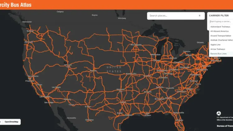
Addressing this long-standing gap, the U.S. Department of Transportation’s Bureau of Transportation Statistics (BTS) has taken a major step forward with the release of the Intercity Bus Atlas. The new initiative introduces a free, web-based interactive map designed to provide a comprehensive, centralized view of the intercity bus network operating throughout the United States, offering a vital resource for travelers seeking alternative transit options.

How the Atlas Works
According to the official announcement from the Bureau of Transportation Statistics, the newly unveiled atlas reflects data voluntarily contributed by approximately 60 scheduled intercity bus operators. The nationwide interactive map displays roughly 1,800 distinct routes and approximately 3,500 individual bus stops, creating an unprecedented digital overview of the nation’s motorcoach infrastructure. The BTS accurately describes the atlas as the sole regularly updated map of the country’s scheduled intercity bus network.
The platform is designed with simplicity and user experience in mind. Users can enter a specific city name into the search interface, prompting the map to display all intercity bus routes connected to that location, including services originating in the city, arriving at the destination, or simply passing through along a broader route. Additionally, users can apply filters by individual carrier to highlight a single operator’s specific service network across the map.
Why the Intercity Bus Atlas Matters
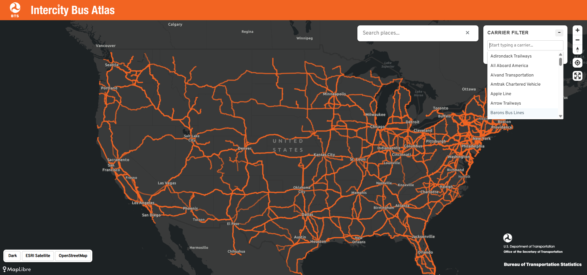
The primary value of the Intercity Bus Atlas lies in its ability to help travelers discover diverse ways to navigate between cities, particularly when used in conjunction with other transit planning resources. The map encourages travelers to consider all potential travel avenues—comparable to the way the Google Flights map allows air travelers to visualize every reachable destination directly from their home airport.
Typing a mid-sized city into the search tool can often reveal a surprising number of bus routes radiating outward into surrounding regions. Many of these routes serve communities that lack commercial airports and, increasingly, have seen the reduction or elimination of local Amtrak rail service. For the millions of Americans residing in localities that major commercial airlines and rail operators have gradually abandoned, the intercity bus serves as an indispensable transportation lifeline.
Wheelchair users stand to benefit tremendously from greater visibility into the nation’s bus network. Modern motorcoaches operated by major commercial carriers come standard with specialized wheelchair lifts and securement areas. Under the Americans with Disabilities Act, large fixed-route operators are legally required to provide fully accessible service to the public.
Beyond accessibility compliance, bus travel frequently offers the most affordable intercity option available. It delivers passengers directly into city centers rather than to distant airports situated on the outskirts of metropolitan areas. Crucially for many power wheelchair users, motorcoach travel eliminates the anxiety and logistical hurdles of surrendering an expensive, custom mobility device to an aircraft cargo hold, as passengers can remain secure or have their chairs safely loaded according to standard carrier protocols.

Future Improvements to the Bus Atlas
Despite its immediate utility, officials at the Bureau of Transportation Statistics readily admit that the Intercity Bus Atlas remains an incomplete work in progress. Because the underlying data is supplied voluntarily by commercial carriers, a number of regional operators and specific routes are not yet reflected on the interactive map.
A notable omission in the current dataset is Megabus, a prominent player in the national intercity market known for offering wheelchair-accessible service across various regions. When data from one of the country’s largest bus operators is excluded from a national clearinghouse, travelers risk overlooking viable, real-world transportation alternatives. This limitation underscores the need for broader industry participation and should incentivize bus operators to share their route data with federal planners.
Industry observers and accessibility advocates have also proposed further enhancements. One notable recommendation for the BTS is to incorporate dedicated accessibility information directly into the atlas platform. Introducing a specialized map layer identifying wheelchair-accessible stops, station amenities, and specific accessibility features would fundamentally transform the tool from a useful geographic map into an indispensable resource for disabled travelers navigating the national transit grid.

The Bottom Line
The introduction of the Intercity Bus Atlas marks an encouraging start, shedding much-needed federal light on a vital mode of transportation that too many travelers routinely overlook. As the platform continues to evolve through expanded data sharing, it promises to make regional travel planning more transparent and inclusive. Travelers are encouraged to explore the Intercity Bus Atlas online to evaluate motorcoach options for their upcoming journeys across the United States.